Getting There
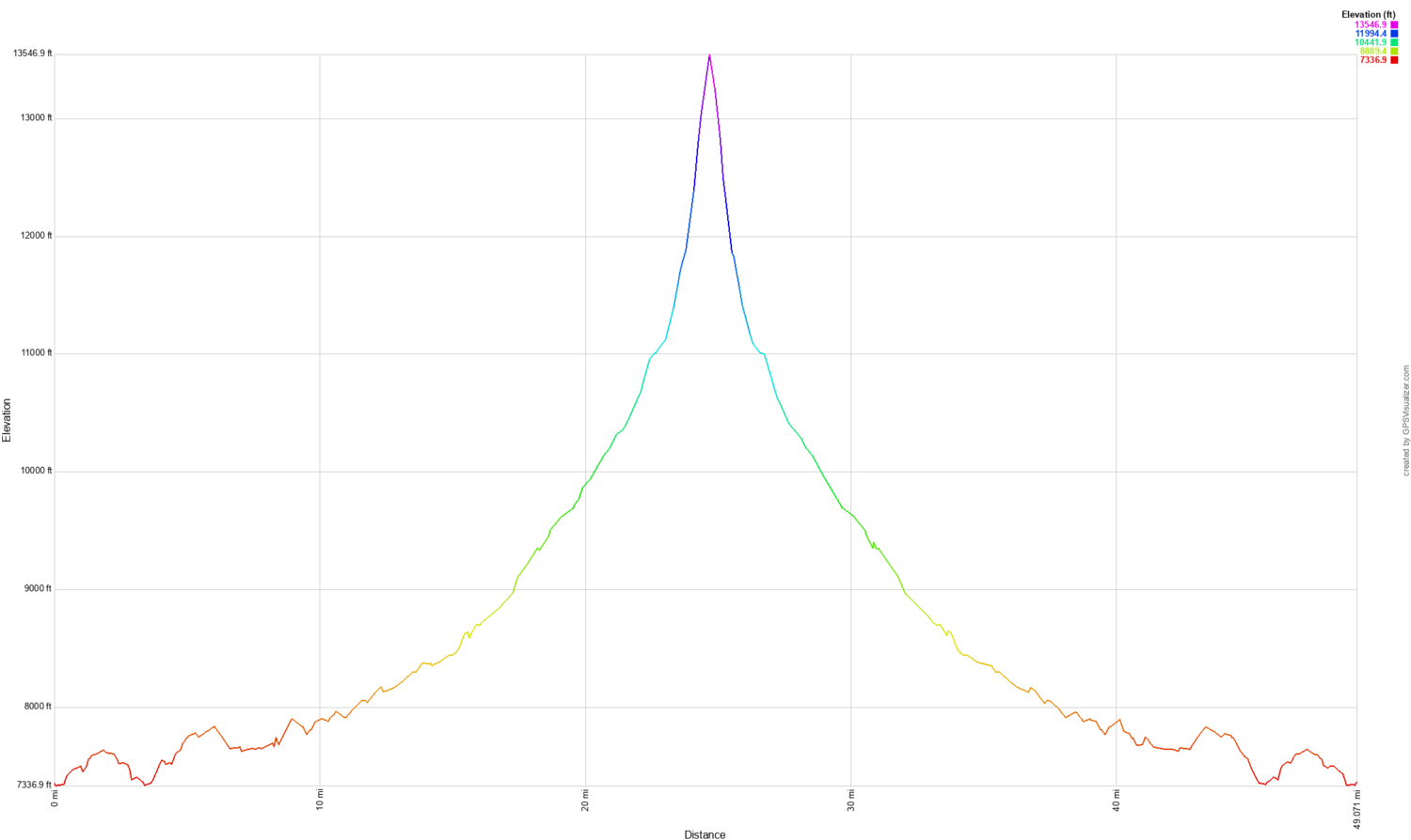
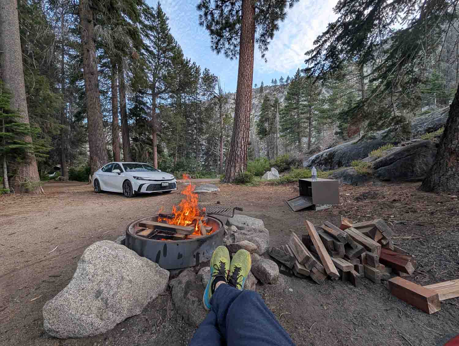
Getting to the trailhead was an adventure in itself. The drive into Sierra National Forest took nearly eight hours, culminating in a nerve-wracking, two-hour stretch along a single-lane road carved directly into sheer cliff faces past Shaver Lake. We ended up staying a mile from Florence Lake at a remote campground. Skipping the late-starting ferry, we hit the trail early—getting in a 14-mile day before making camp along the San Joaquin River. It was a long, exhausting first day.
Goddard Canyon to Martha Lake
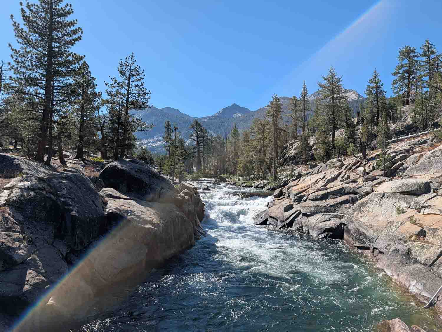
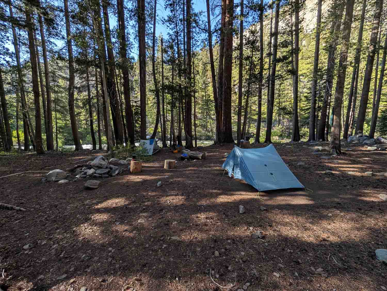
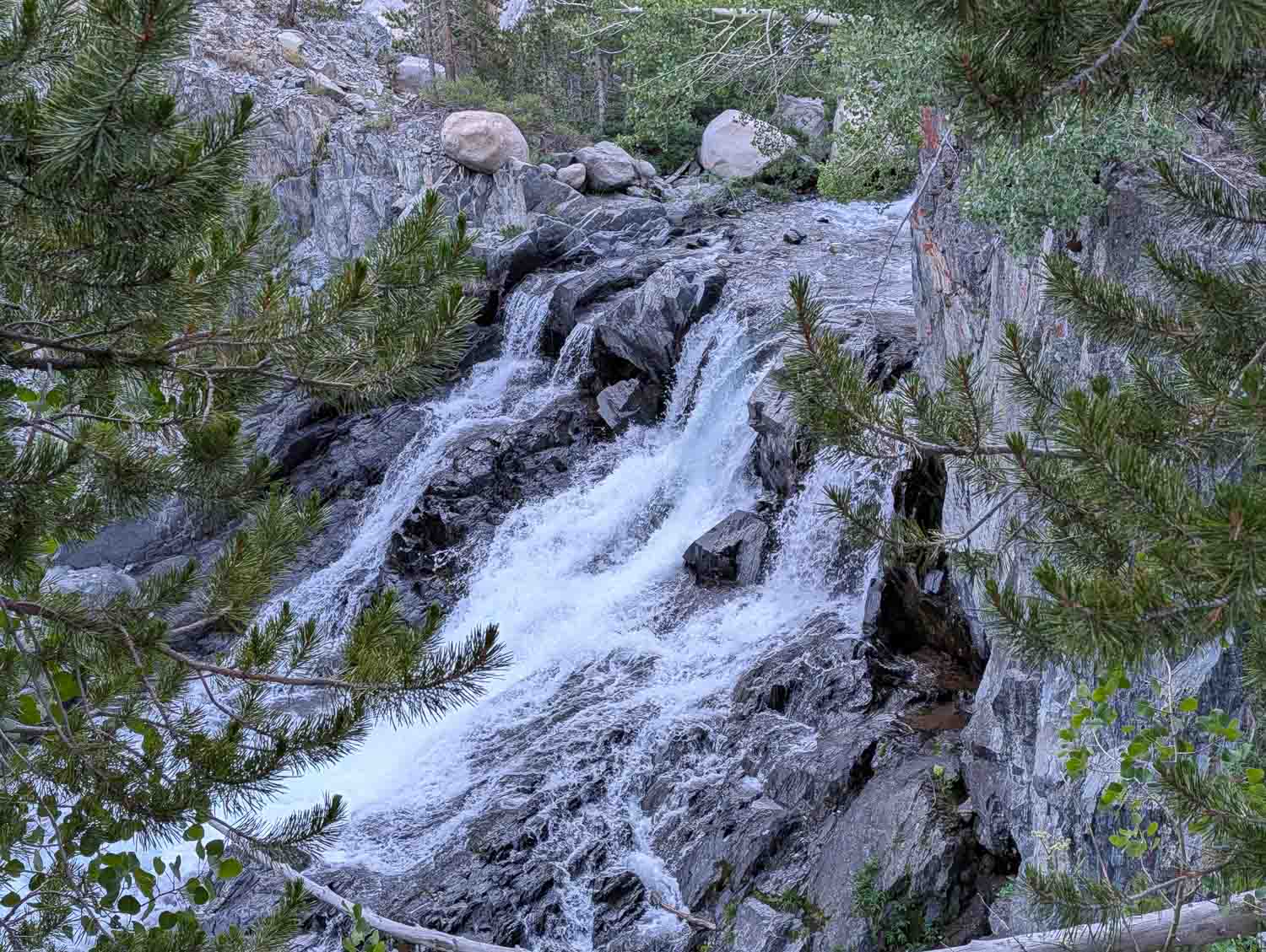
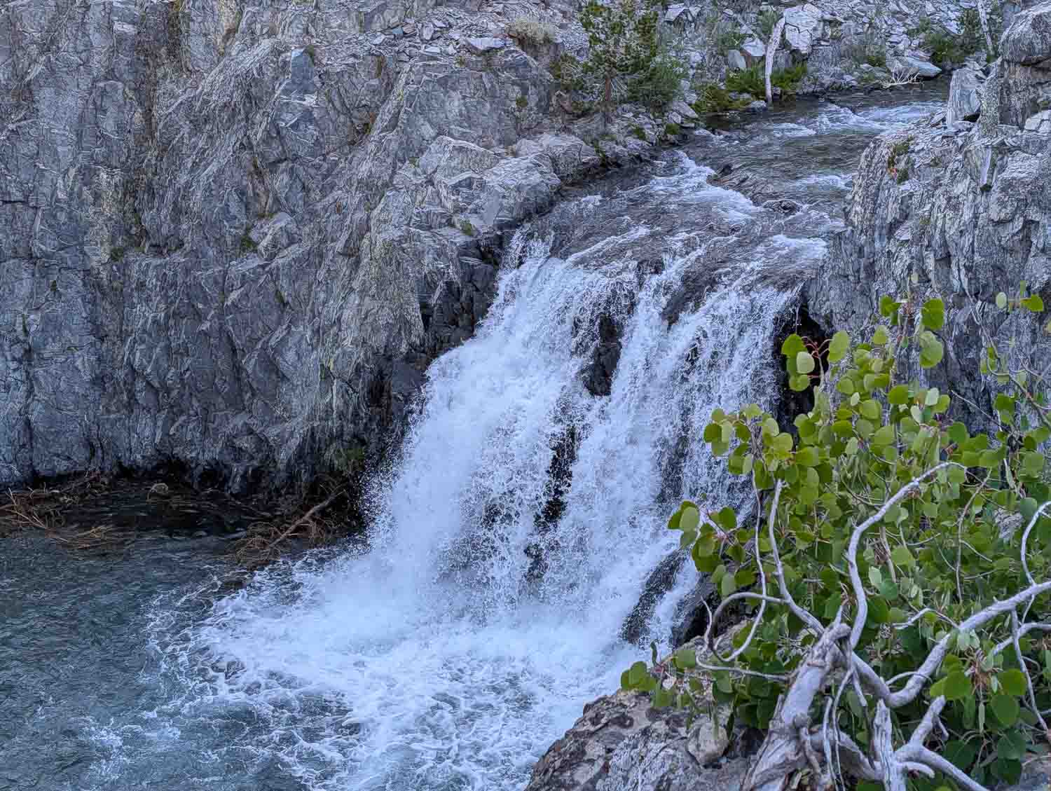
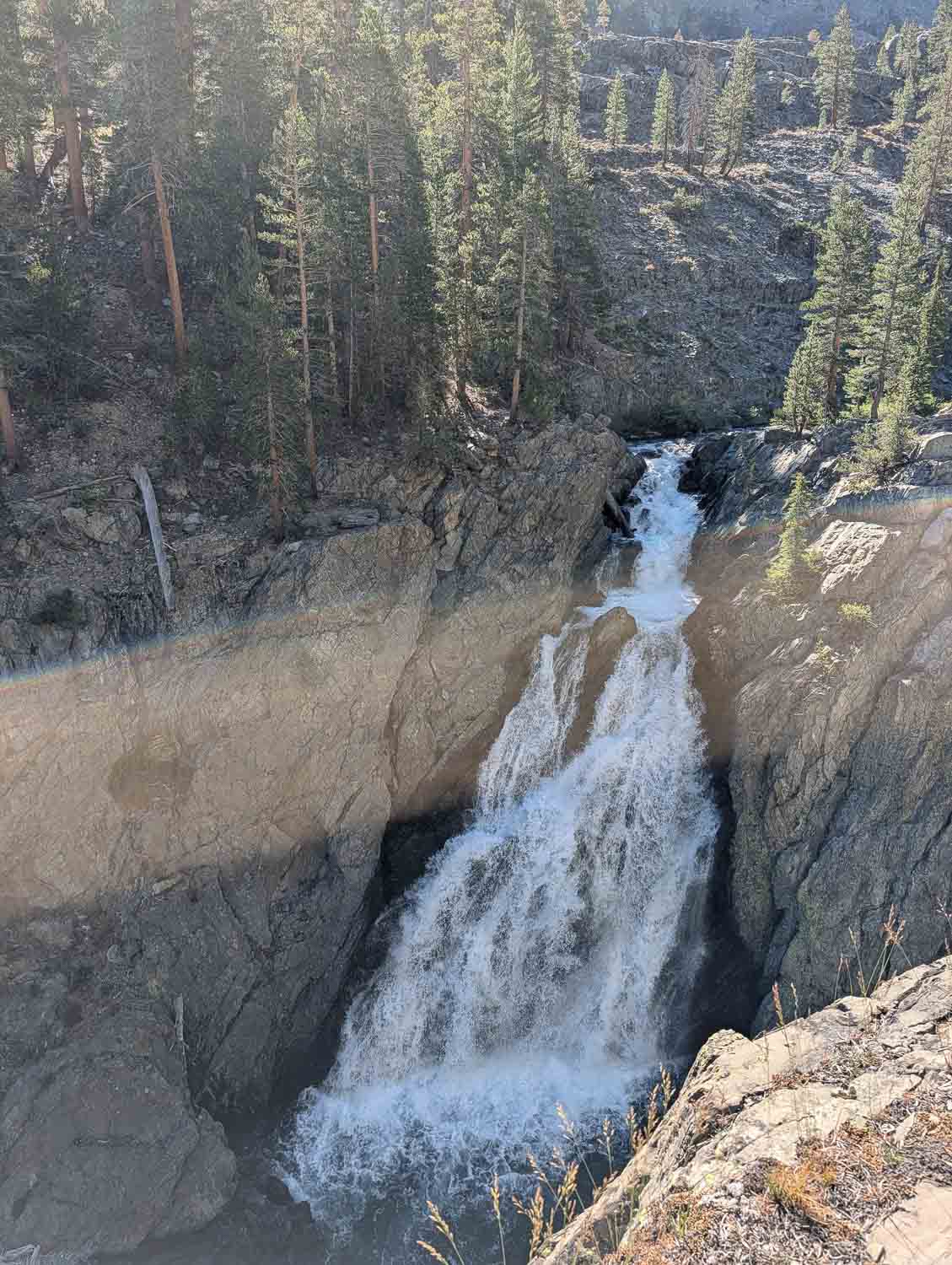
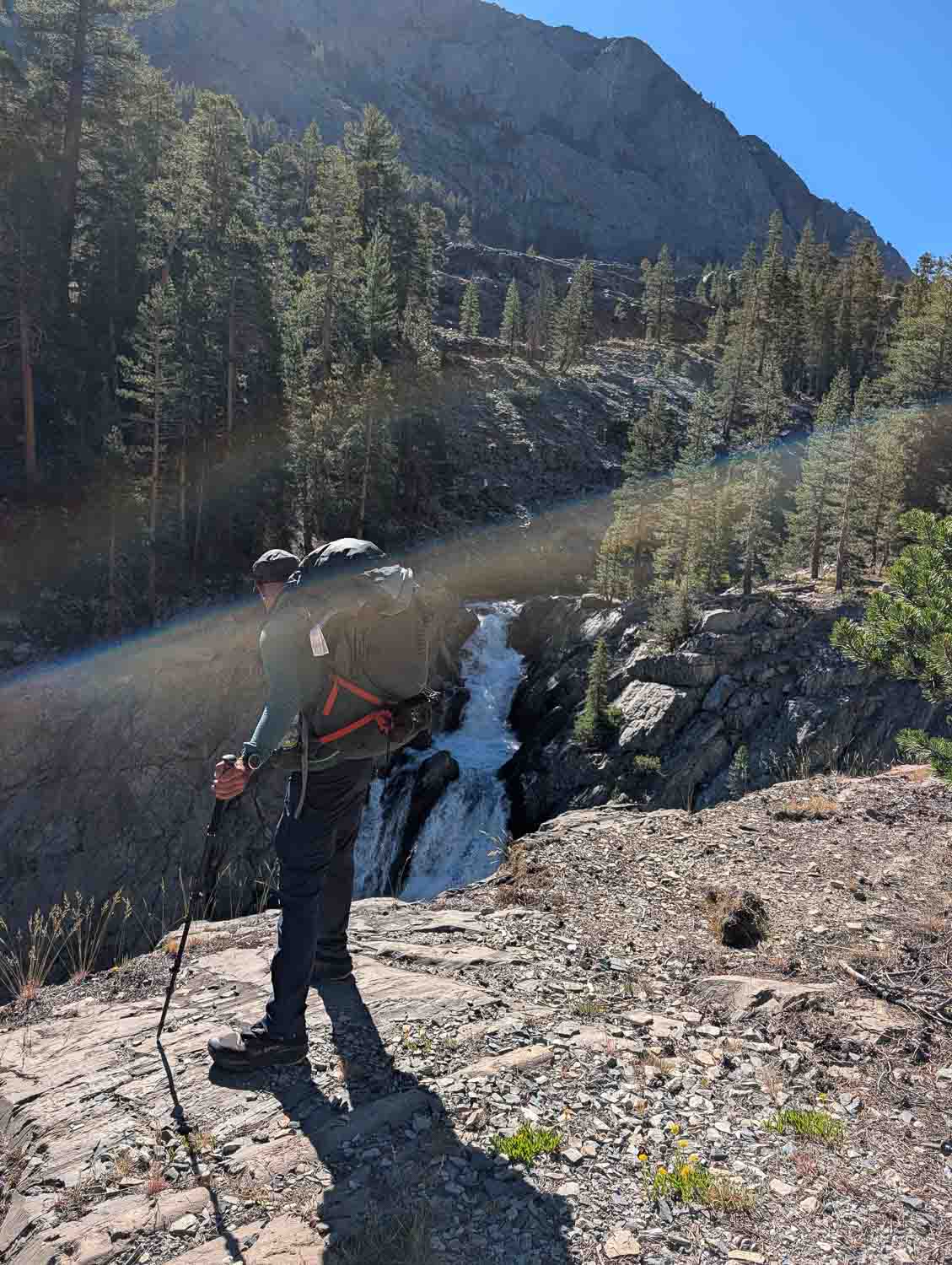
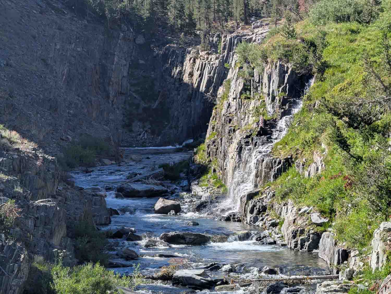
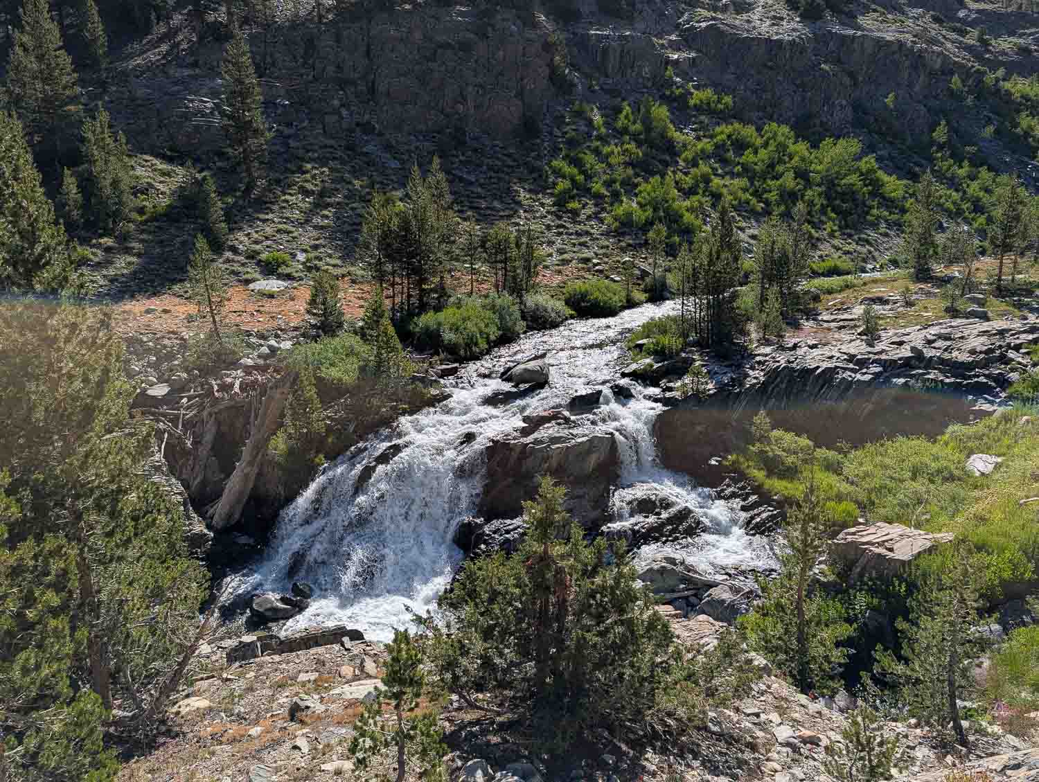
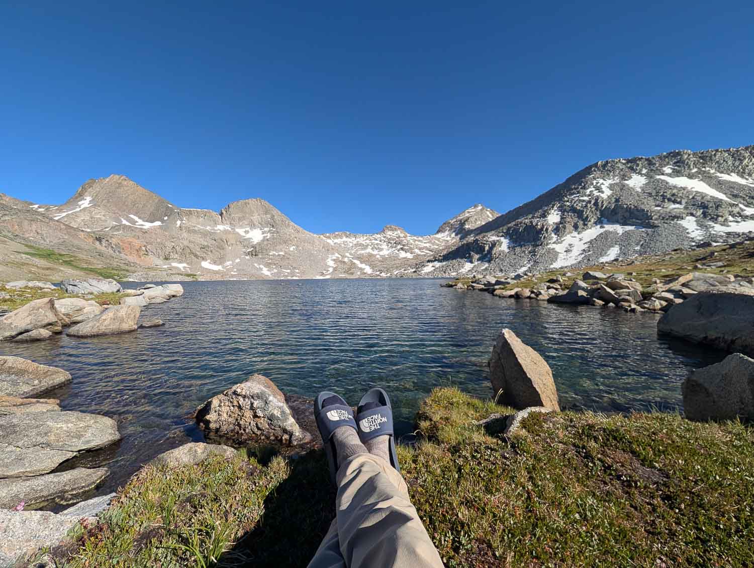
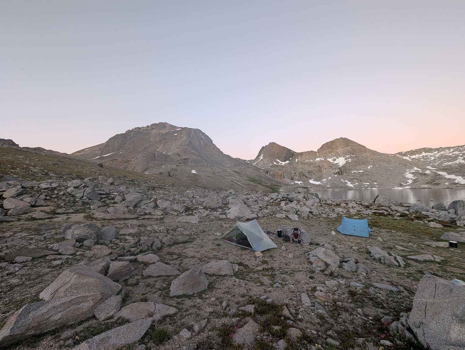
On day two, we left the busy John Muir Trail for the Goddard Canyon Trail. It felt like taking the road less traveled—faint, unmaintained, and choked with blowdowns, but stunningly wild. We followed the San Joaquin all the way to its source, passing waterfall after waterfall before reaching Martha Lake. Martha Lake sits right at the foot of Goddard—completely exposed, stark, and beautiful. Unfortunately, it was also sweltering, and the mosquitoes were out in full force. We spent the afternoon hiding in our tent-turned-oven, watching hundreds of bugs swarm the mesh, waiting for sunset to bring relief.
What Makes Mount Goddard So Special?
Named in honor of George Henry Goddard, a pioneering civil engineer and surveyor who drafted early maps of California in the 1850s, Mount Goddard holds a special place in Sierra history. It was first climbed in 1879 by Lilbourne Winchell and Louis Davis. Due to its isolated location deep in the backcountry, it remains one of the more remote major summits in Kings Canyon National Park.
Geologically, Goddard stands out sharply against its neighbors. While much of the High Sierra is famous for pale, gleaming granite (like Half Dome or Mount Whitney), Mount Goddard is composed of ancient, dark metavolcanic metamorphic rock. Hundreds of millions of years ago, before the deep granite batholiths were uplifted and exposed, volcanic island arcs sat along the coast. Goddard is a surviving remnant of that ancient “roof pendant”—giving it a jagged, dark, almost formidable appearance towering above the granite basins.
Summit Day
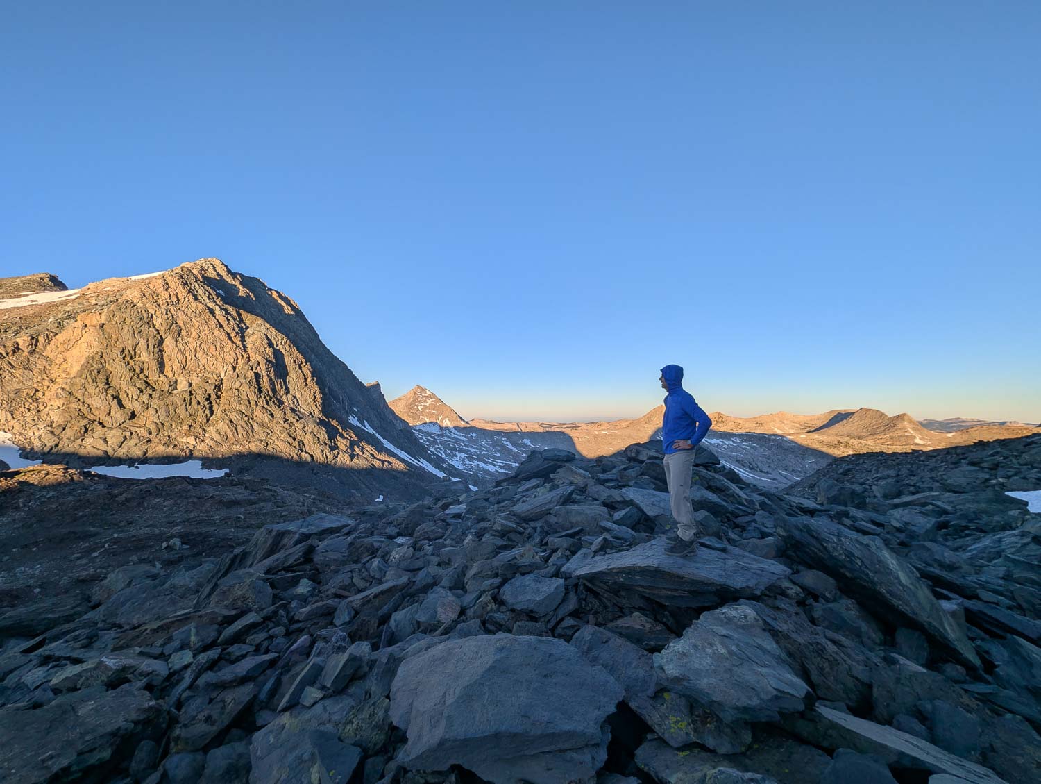
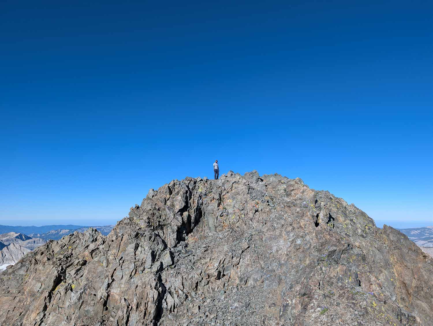
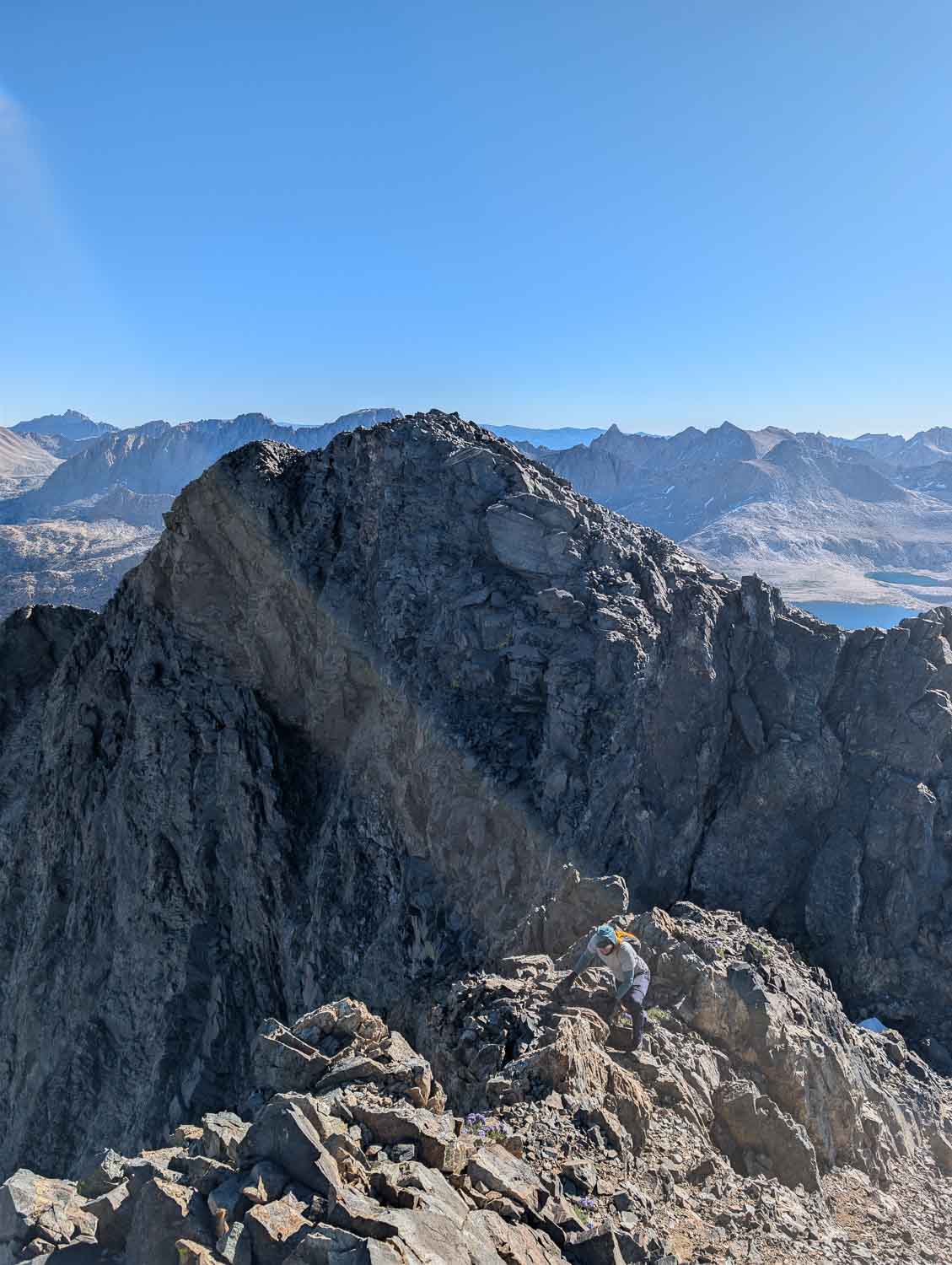
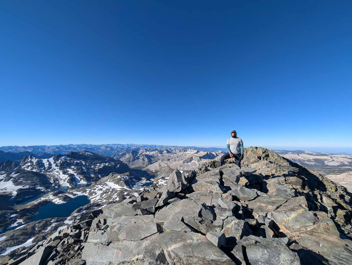
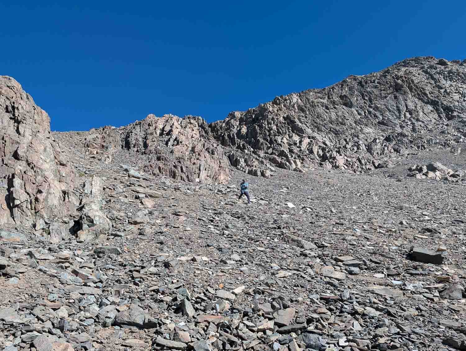
At 4:00 AM, we choked down some Clif Bars, strapped on headlamps, and set off before first light. The route ascends quickly from Martha Lake through steep boulder fields before coming to a steep, loose, class 2+ chute flanked by solid walls. The chute gave us access to an easy ridge where we were able to walk up to the first summit. Not realizing we were on a false summit, I looked around for the USGS benchmark—only to realize we were on the wrong high point. The true summit sat across an intimidating chasm, with a large pillar in between. At first, down-climbing 150 feet of loose rock with exposure on each side seemed pretty sketchy. I paused for a minute and found a safe route. Once I got 50 feet down the chute, the route was quite safe. Manny followed my route, and within minutes, we were standing on the true summit.
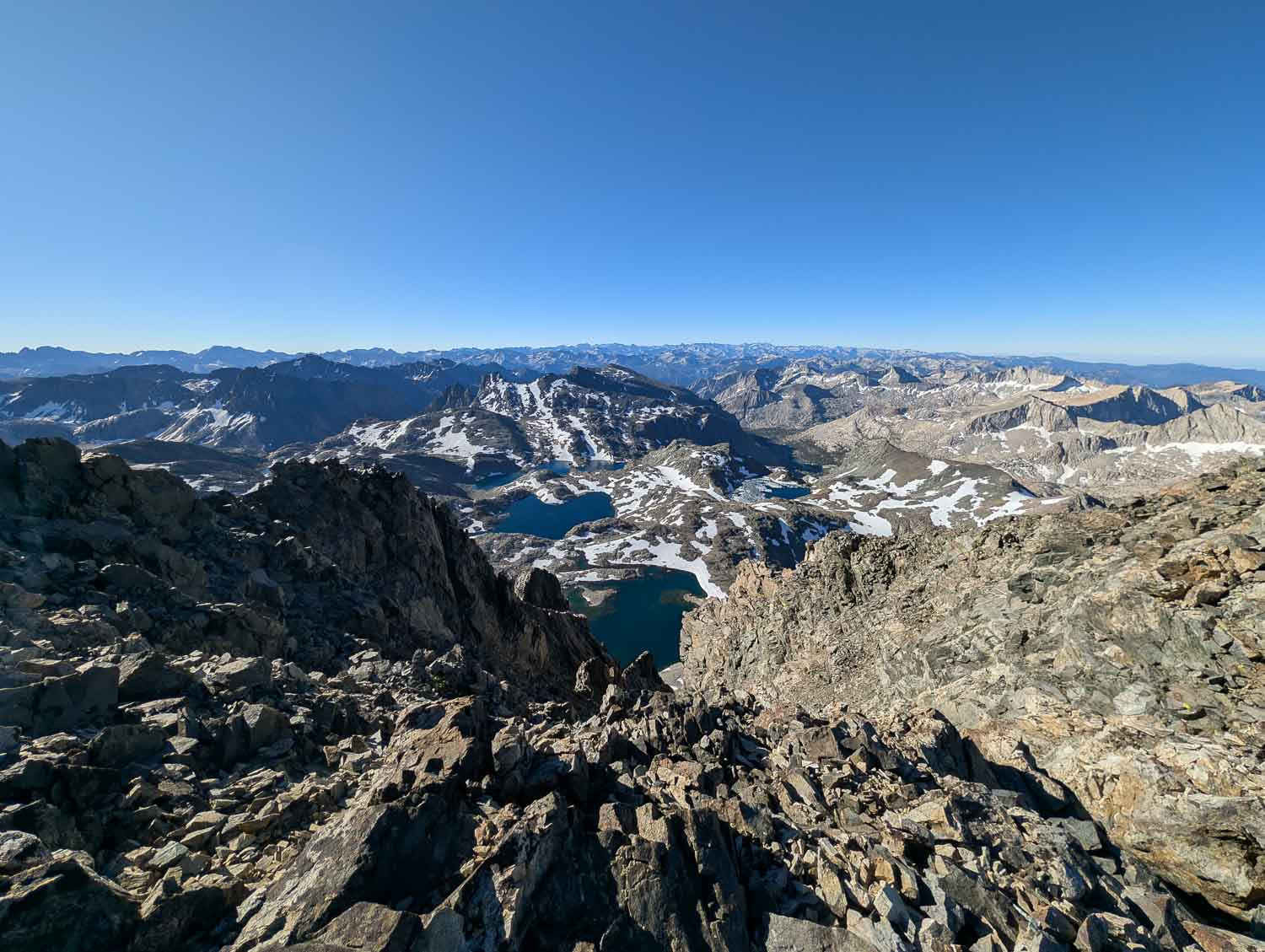
Standing on top of Mount Goddard eight years after first dreaming about it on the JMT was surreal. Situated right in the middle of the range, the 360-degree views of Evolution Basin and surrounding peaks were unmatched. In the far distance, I could see the distinctive profile of Mount Humphreys—a peak I had on my radar for just a few weeks later.
Getting Home
The descent was surprisingly fast. The loose chute that gave us trouble on the way up turned into a fantastic scree surf down to the lower basin. After getting swarmed by mosquitoes back at camp, we packed at breakneck speed and started the long hike out—logging a 6,000-foot descent before my 58-year-old body called it quits near Muir Trail Ranch. We wrapped up the final leg back to Florence Lake the following morning and headed home. Mount Goddard lived up to every expectation: remote, rugged, tedious at times, but utterly unforgettable.
Elevation Profile from Florence Lake