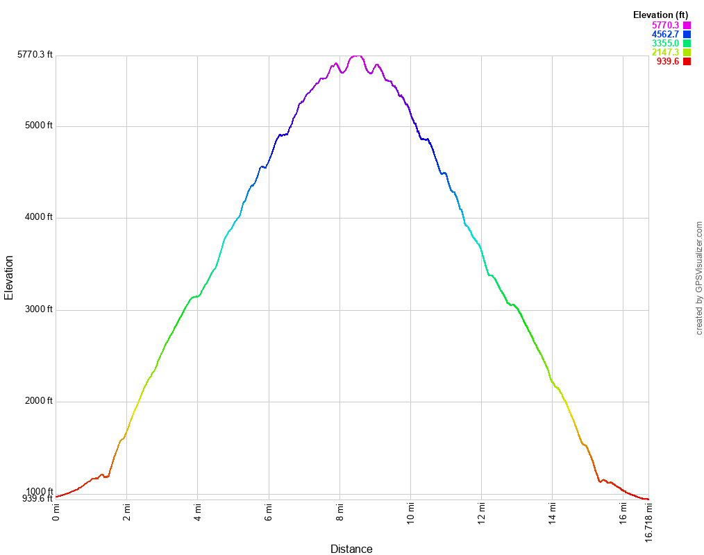
I wanted to keep the momentum going for the winter climbing season, and I was enjoying the Anza Borrego desert, so I put Villager Peak next on the list. At 5,000 feet of elevation gain, it’s a solid hike. Wes and I almost canceled because of rain in the forecast, but it looked doable if we got down by early afternoon, so we committed. We left early and got to the trailhead at 8:00-ish. Surprisingly, there were a lot of cars at the trailhead, but we didn’t see many people on the trail.
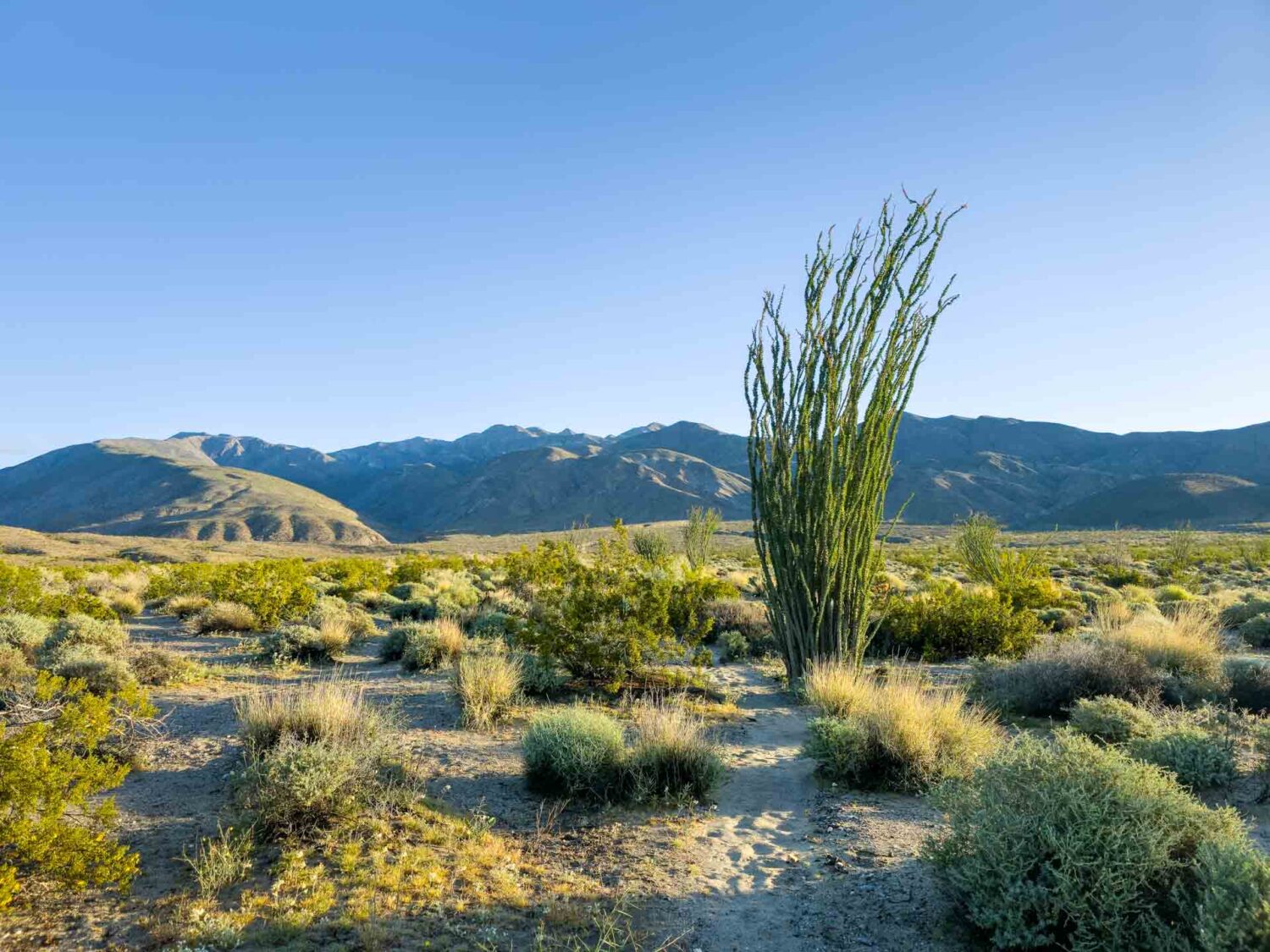
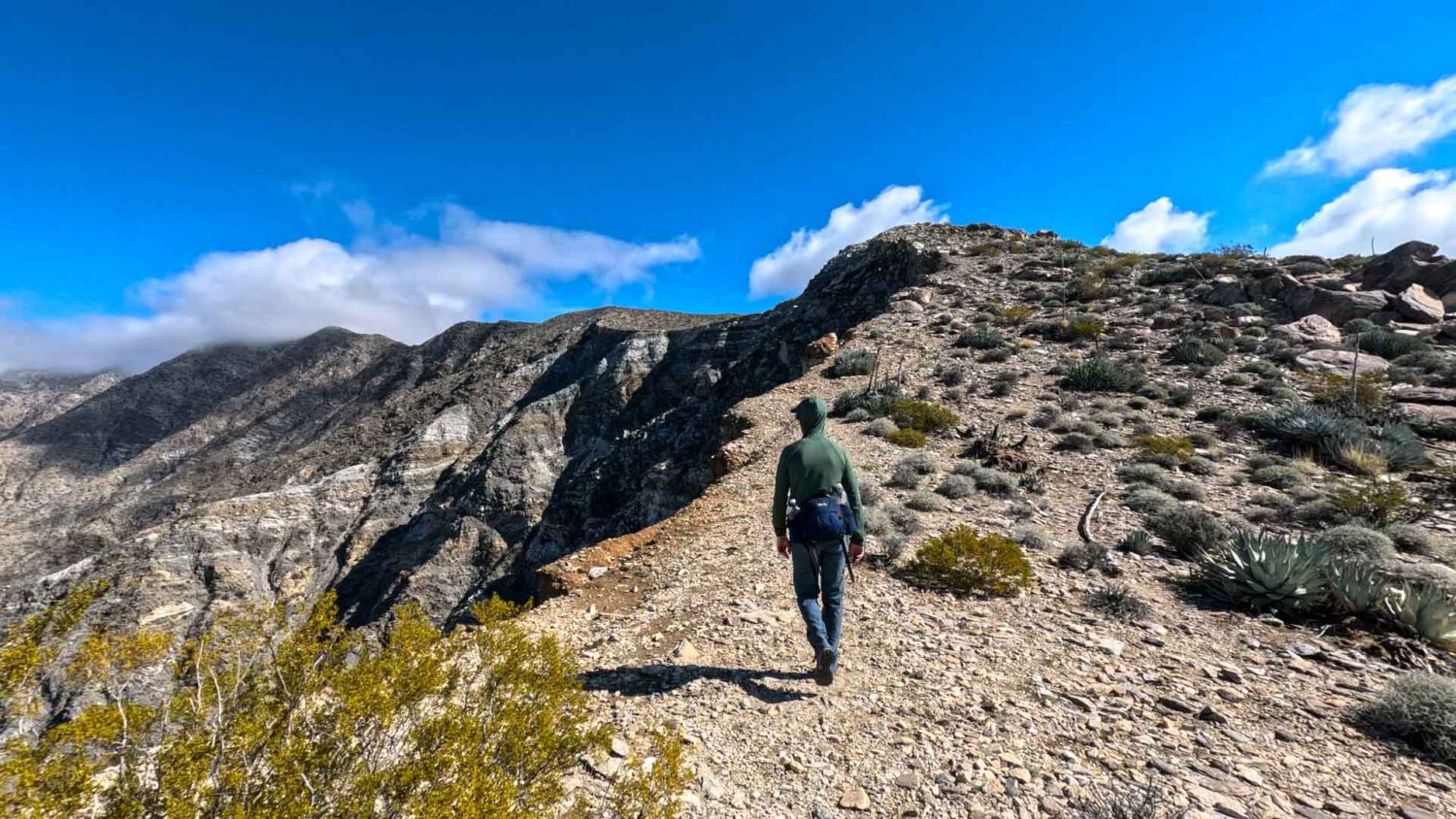
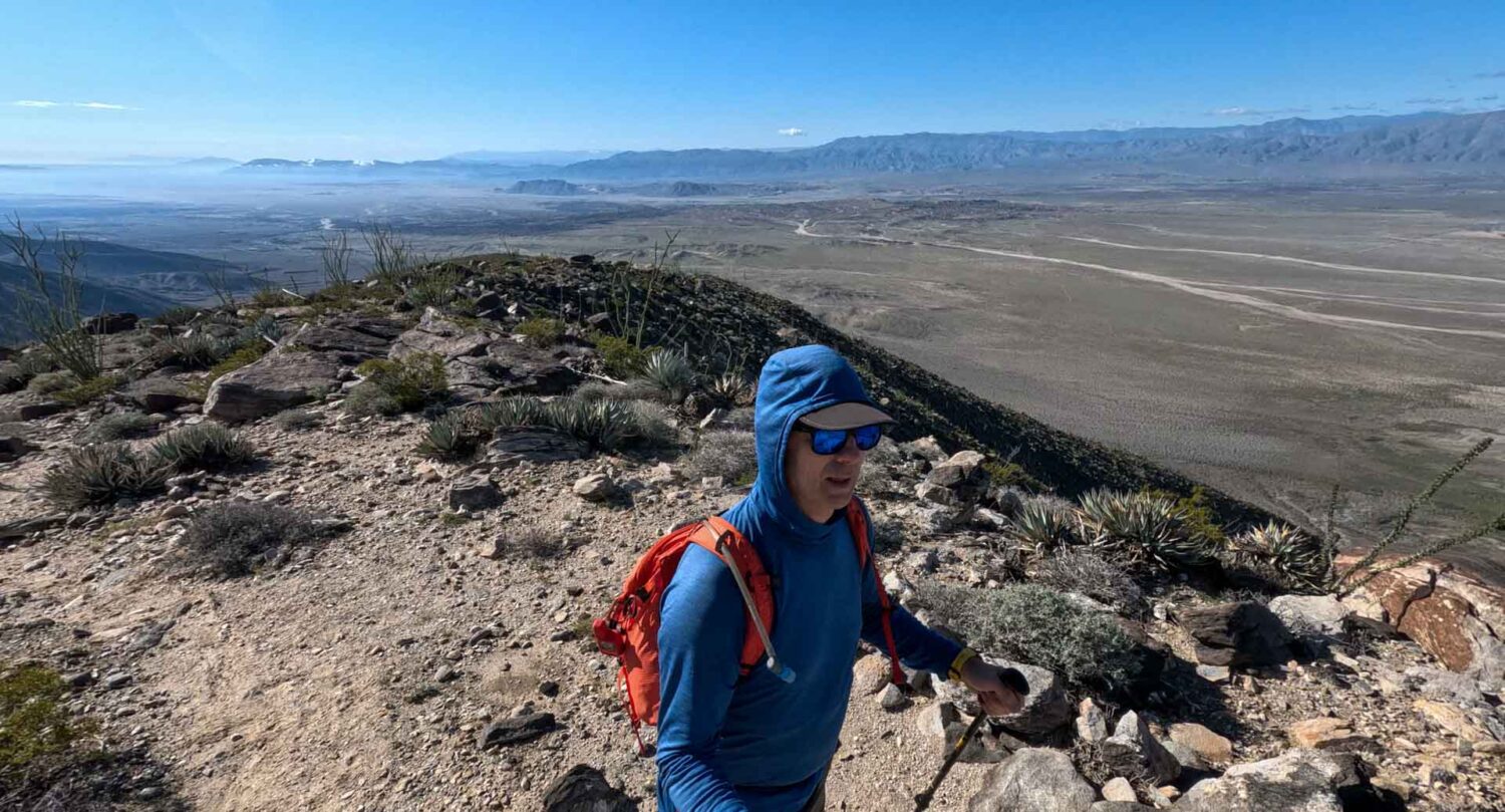
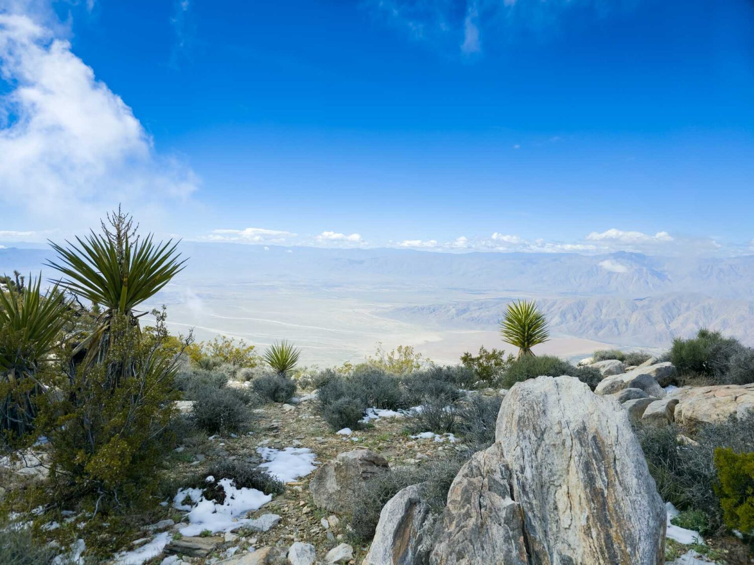
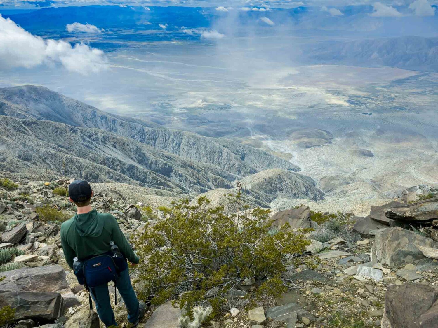
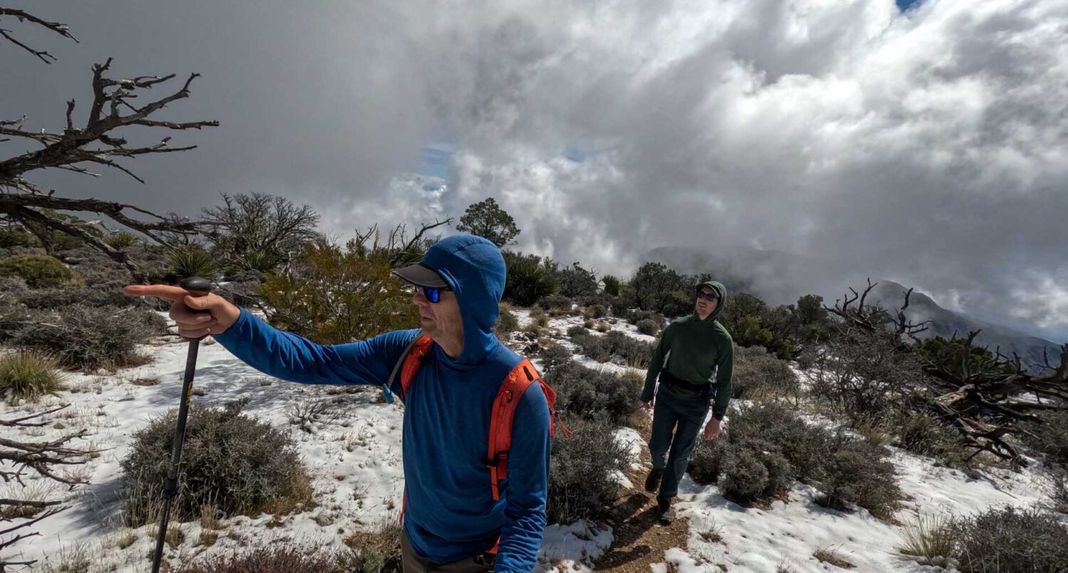
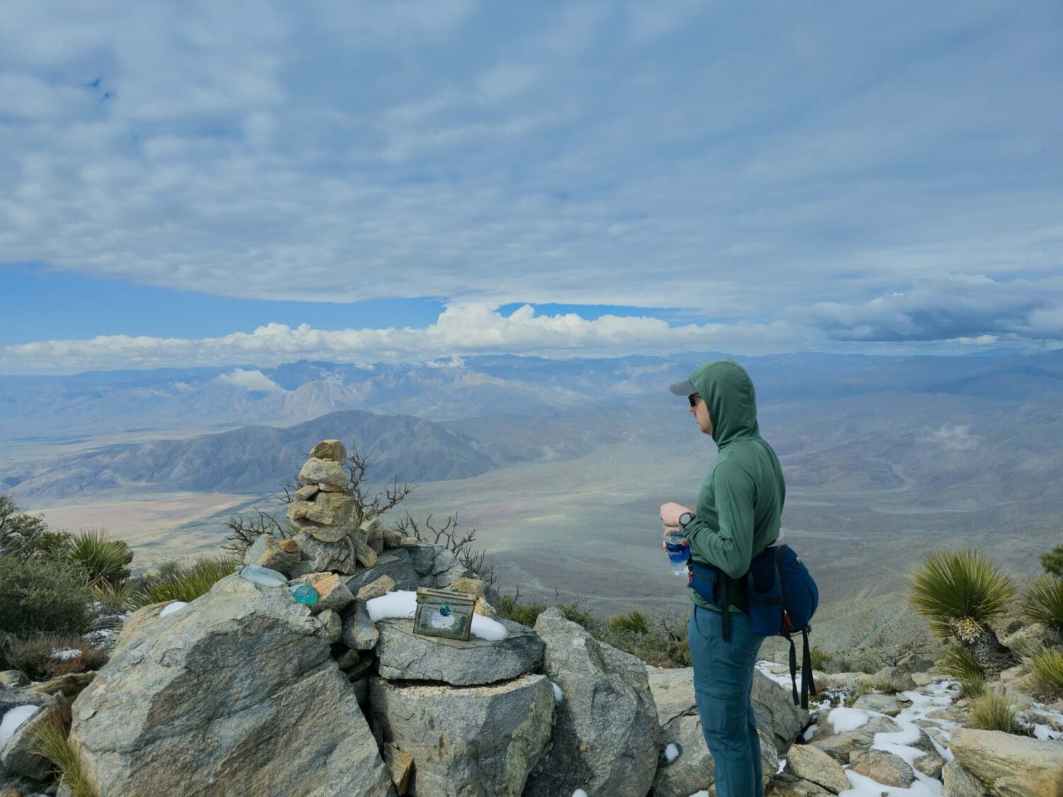
The trail was fairly well-marked and has an easy grade for most of the hike. It gradually winds us up a ridge for three+ miles before transitioning to steeper scrambling. The views were stunning but became obscured by clouds by late morning. As we reached the upper mountain, we could see over the crest of the range to the Salton Sea, where a weather system was slowly moving in. It was a little concerning, but we were making good time, and it looked like we could still outpace the slow-moving storm. By the time we reached the summit, we were intermittently engulfed in swirling clouds. We took five minutes to have a snack, then headed down to stay ahead of the weather.
The hike down was the typical long slog you experience on almost every desert peak. Clouds continued to roll in, but no rain. On the drive out we headed toward IHOP for a late launch when the storm finally caught up to us. Thank God we were in the car. There was no lightning, but the rain was exceptionally heavy. It would have been pretty miserable to be out there in it. We ended the day eating some comfort food at IHOP. I burned 4,000 calories today, according to my watch and heart monitor, so I didn’t worry about the calories today.

Elevation Profile
