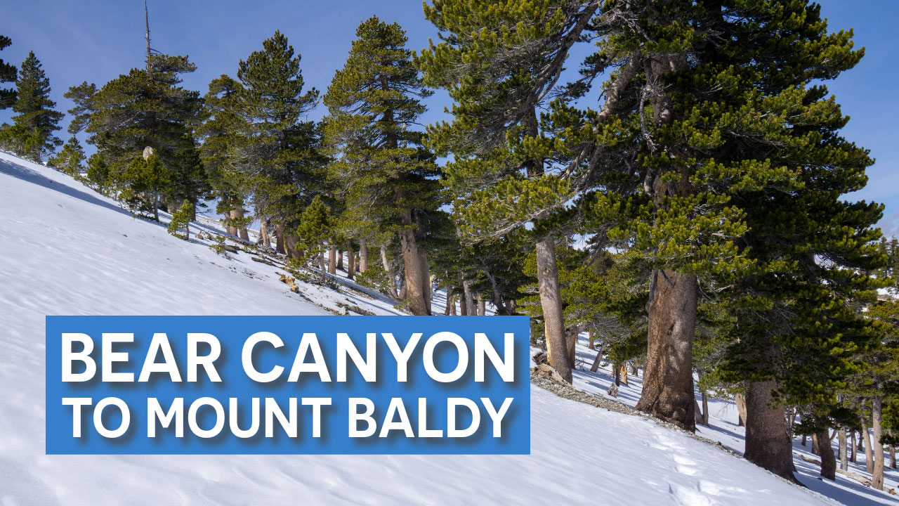
The Bear Canyon Trail was created in 1889. Eventually, a road was built to what is now Manker Flats and the “Old Baldy Trail” lost popularity – probably because it’s a lot harder. I started out following a creek for about a mile and then climbed away from the creek via a series of switchbacks. These switchbacks seemed to go on forever.
I continued up the switchbacks until I came to a high ridge. As I approached the ridge, I kept thinking I was almost there, but it just kept going up. After I had gained the ridge, the hiking got easier and I caught views of Sheep Mountain Wilderness and Iron Mountain.


The last few miles of trail were the easiest. I came across a ridge that has a similar feel to the Devil’s Backbone Trail on the other side of the mountain. There is a short section of trail that in icy conditions has fatal exposure on both sides. I puckered up a little as I crossed the narrow snow-covered trail with exposure on both sides.
Looking ahead, I saw that the trail followed a “C” curve to my right and gradually ascended the side of West Baldy to the main summit. It’s easy to lose direction during this section of the hike, especially if there is a lot of snow. I was post-holing in deep powder for about a half-mile, which was a little taxing. I turned around periodically and mentally mapped my descent, given all of the snow I was trudging through.


I have been to the summit of Mount Baldy many times, but it was particularly beautiful that day, with dark ominous clouds changing shape and enveloping the summit. I headed down quickly when I started losing visibility. The descent was pretty hard on my knees.
All in all, I think I like this route. I’ll definitely do it again.
Elevation Profile


